


Trails Challenge series: Martinez Regional Shoreline offers tranquility to visitors
April 12, 2017
Don’t go to Martinez Regional Shoreline if you’re looking for a workout – you’ll not find one.
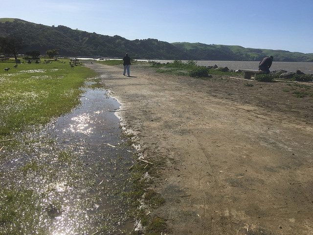
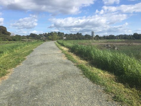
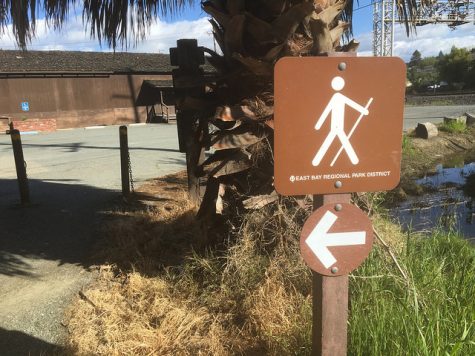
This short loop, which winds along the Martinez waterfront, is the second-shortest option for the East Bay Regional Park District’s Trails Challenge, measuring at just over 1.8 miles. Its flat gravel paths make it a preferred destination for trail runners, or those simply looking for an easy walk in the sun. Dogs are not allowed in most parts of the park.
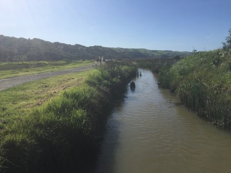
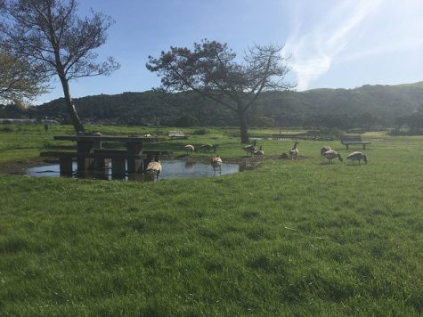
Martinez Regional Shoreline finds itself nestled in a bend of the Carquinez Strait, just west of the Benicia-Martinez Bridge. It’s an idyllic plot of protected marshland, with a diverse array of avian wildlife.
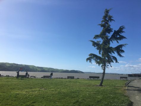
The area has a rich history as a 19th century fishing village and transport hub. The trail’s suggested starting point sits adjacent to the Martinez Marina, from which the Bay Area’s earliest established (and longest running) ferry service began funneling passengers across the strait in 1847.
The park was officially renamed the Radke Martinez Regional Shoreline in December 2016, in honor of longtime Park District Board member Ted Radke and his wife Kathy. Radke served on the Board from 1978 to 2014. He passed away in August 2016.
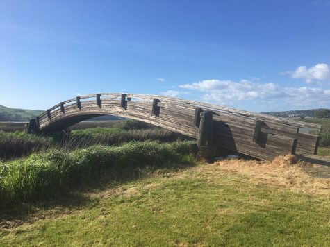
The park’s trails and bridges are well-maintained, and quite picturesque. Informative panels along the path offer tidbits about the environmental and societal history of the area.
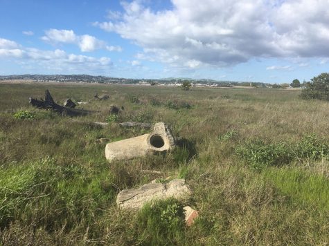
A significant chunk of the walk will lead you along the Pickleweed Trail in the westernmost part of the park, past the wreck of the sunken schooner Forester, which in the early 20th century would carry lumber across the Pacific to Asia.
Martinez Regional Shoreline has its drawbacks as a natural space, however. It certainly feels like an urban park. At one point the trail weaves behind a pumping station – a stark reminder of the extent to which human hands have shaped this place.
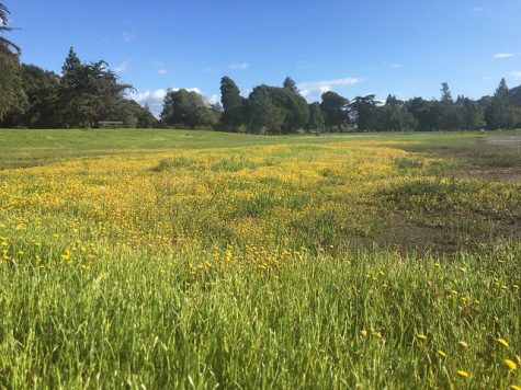
In the end, Martinez Regional Shoreline provides a convenient space for a tranquil walk, and the easily visible hills of Carquinez Strait Regional Shoreline to the west offer an encouraging reminder of how the winter rains make possible a dazzling display of green in the Bay Area.
It’s worth taking the time to sit and watch the world come alive as the wind whips through a sea of tall grass.
Keep an eye out for the next part of the Inquirer’s Trails Challenge series on www.dvcinquirer.com. The first part of the series can be found here.


Tracy Woodard • Apr 17, 2017 at 9:36 pm
Just a quick editorial note
I believe the proper name is
Canada Geese, not Canadian Geese
Trevor Cheitlin • Apr 19, 2017 at 12:41 pm
Thanks for the edit, Tracy. It’s been fixed.