


Trails Challenge series: Panoramic views make Claremont Canyon a must-do
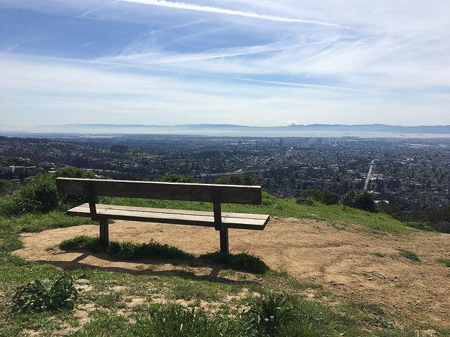
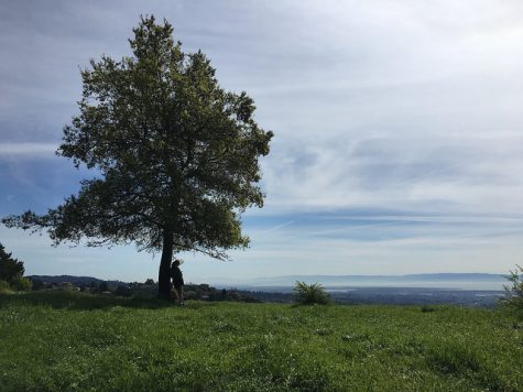
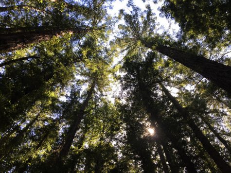
A great view from the top of Panoramic Ridge.
March 27, 2017
Stonewall-Panoramic Trail, one of 20 applicable hikes for the East Bay Regional Park District’s Trails Challenge and the first leg of my five-part tour of the district, wasted no time in putting my legs to work.
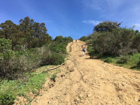
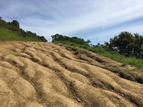
The trail begins with strenuous incline, and doesn’t let up from there. It’s not a particularly long hike – I clocked my time in movement (not counting periods of rest for water and hyperventilation) at an hour and sixteen minutes – but with over 700 feet of total elevation gained over its first mile, Stonewall-Panoramic can prove a challenge for inexperienced or out-of-shape hikers.
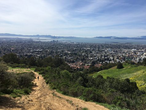
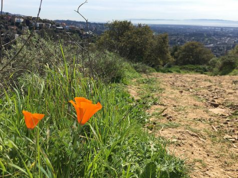
Not to say it’s not worth the sweat; Stonewall-Panoramic offers magnificent panoramic views of the East Bay, Marin and San Francisco, and offers a diverse array of flora to boot.
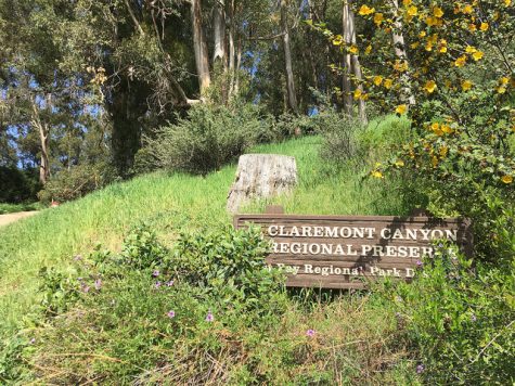
The trail runs along Panoramic Ridge on the northern boundary of Claremont Canyon Regional Preserve. The canyon played a significant role as a communication and transportation route for both the Huchiun Ohlone Native Americans and later American settlers, and acted as the major thoroughfare between Oakland and Contra Costa County before the construction of the Kennedy (later Caldecott) Tunnel in 1903.
Today, Claremont Canyon Regional Preserve protects 208 acres of land straddling Claremont Avenue. The famous Claremont Hotel is plainly visible from multiple points along the Stonewall-Panoramic Trail, as is UC Berkeley, which hugs the northern edge of the park.
The trail itself is highly flexible in length – the Trails Challenge guidebook recommends a 2.62 mile there-and-back route, which will take you simply to the eastern boundary of the park and back. My path led me a bit farther into the hills and back down along the Upper Fire Trail, which resides on land technically owned by the university, and clocked in at just over 3.4 miles.
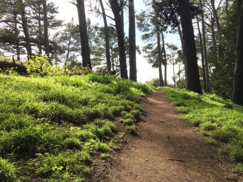
The Upper Fire Trail is significantly more shaded than Stonewall-Panoramic, which opens up to the elements at around the half-mile mark and provides little respite from the sun from there on out. You’ll want to bring a full water bottle to keep yourself hydrated.
The trail is moderately crowded even on weekdays; its proximity to campus makes it a popular hike for students.
It’s worth stopping frequently along the trail to take in the views, because they are truly magnificent. There’s a certain comfort in following a blanket of fog as it rolls in over the Golden Gate Bridge that’s unique to this area. Even as a lifelong Bay Area resident, I was taken by the sight.
I think you will be too.
Keep an eye out for the next part of the Inquirer’s Trails Challenge series on www.dvcinquirer.com.